Services index

Four disciplines.
One ground truth.

Locate before you cut. Scan before you core. Map before you dredge. Each service stands alone — and they compound when you stack them on the same job.

Utility crew working at a manhole opening on a paved job site
Subsurface01

Private Utility Locating

Beyond the 811 paint line.

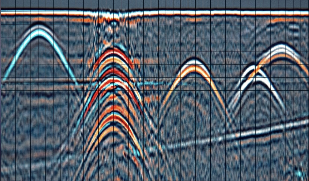
More than 65% of utilities on a typical site are private and unmarked by the public one-call system. Our NULCA-trained locators use electromagnetic induction and ground penetrating radar to trace energized and de-energized lines, follow tracer wire, sonde non-conductive pipe, and verify 811 marks before excavation begins.

  • Detection Accuracy>99%
  • Typical Response24 – 48 hr
  • First-Hour Service Call$185
Read more
Ground penetrating radar scan of a concrete slab showing hyperbolic returns from rebar and conduit
GPR02

Concrete Scanning

See inside the slab before the saw drops.

We map structural reinforcement and embedded targets in concrete decks, slabs-on-grade, walls, and columns to a typical depth of 18 inches. Real-time markup on the surface lets your crew core or cut immediately. For PT slabs, we provide written clearance with photo-verified marking before any anchor goes in.

  • Scan Frequency1.6 GHz
  • Effective Depth18 in
  • Scans per Hour4 – 6
Read more
Drone LiDAR point-cloud rendering of forested terrain with elevation color ramp
Aerial / GIS03

GeoSpatial Services

A digital twin of every acre you touch.

Our airborne LiDAR sees through brush and canopy to model bare-earth topography. Photogrammetry produces 2 cm GSD orthomosaics for measurement and as-built records. We tie ground control with RTK, deliver to Texas State Plane (NAD83 / NAVD88) by default, and overlay our underground locates onto the same coordinate system — so what's above and what's below align.

  • Photogrammetry GSD2 cm
  • Liability Coverage$2M
  • Coordinate SystemTX SP / NAVD88
Read more
Aerial bathymetric depth-contour map of a lake overlaid on the water surface
Hydrographic04

Bathymetric & Sediment Mapping

Depth, volume, and muck — quantified.

We survey ponds, lakes, irrigation reservoirs, and stormwater detention basins to produce bottom contours, water-volume calculations, and sediment-thickness maps. Our dual-frequency transducer separates loose silt from compacted hardpan, giving you a defensible cubic-yard estimate before dredging contractors set a price.

  • Sonar Frequencies200 / 50 kHz
  • Horizontal Accuracy<10 cm
  • Volume Output± 3% cu yd
Read more

Get a quote

Tell us where you're digging.

Email a job address, scope, and any drawings or aerials you have. Most quotes go out the same business day.